gg is a generic function for generating geomes from various kinds of spatial objects, e.g. Spatial* data, meshes, Raster objects and inla/inlabru predictions. The function invokes particular methods which depend on the class of the first argument.
Value
The form of the value returned by gg depends on the class of its argument. See the documentation of the particular methods for details of what is produced by that method.
See also
Other geomes for inla and inlabru predictions:
gg.data.frame(),
gg.matrix()
Other geomes for spatial data:
gg.SpatRaster(),
gg.SpatialGridDataFrame(),
gg.SpatialLines(),
gg.SpatialPixels(),
gg.SpatialPixelsDataFrame(),
gg.SpatialPoints(),
gg.SpatialPolygons(),
gg.sf()
Other geomes for meshes:
gg.fm_mesh_1d(),
gg.fm_mesh_2d()
Other geomes for Raster data:
gg.RasterLayer()
Examples
if (require("ggplot2", quietly = TRUE)) {
  # Load Gorilla data

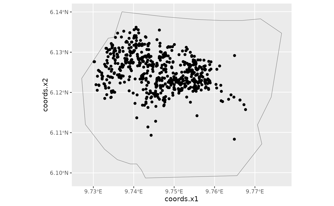
  gorillas <- inlabru::gorillas_sf

  # Invoke ggplot and add geomes for the Gorilla nests and the survey
  # boundary

  ggplot() +
    gg(gorillas$boundary) +
    gg(gorillas$nests)
}
