Data imported from package MRSea, see https://www.creem.st-andrews.ac.uk/software/
Format
A list of objects:
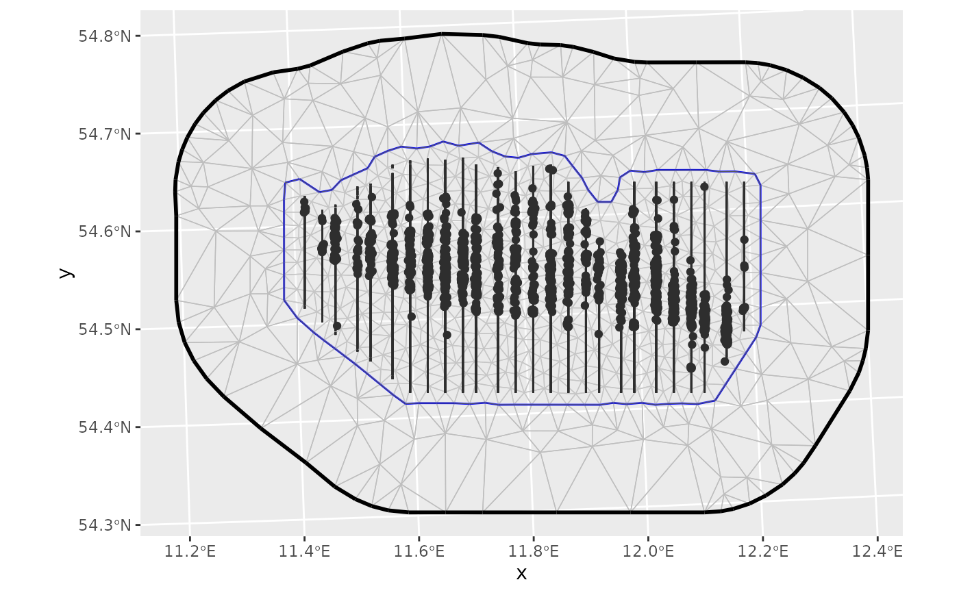
pointsA
sfobject containing the locations of XXXXX.samplersA
sfobject containing the transect lines that were surveyed.meshAn
fm_mesh_2dobject containing a Delaunay triangulation mesh (a type of discretization of continuous space) covering the survey region.boundaryAn
sfobject defining the boundary polygon of the survey region.covarAn
sfcontaining sea depth estimates.