Convert a data.frame of boundary points into a SpatialPolgonsDataFrame
Source:R/bru.spatial.R
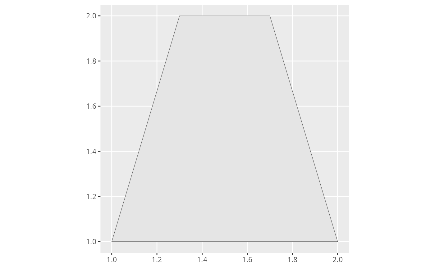
spoly.RdA polygon can be described as a sequence of points defining the polygon's boundary.
When given such a sequence (anti clockwise!) this function creates a
SpatialPolygonsDataFrame holding the polygon decribed. By default, the
first two columns of data are assumed to define the x and y coordinates
of the points. This behavior can ba changed using the cols parameter, which
points out the names of the columns holding the coordinates. The coordinate
reference system of the resulting spatial polygon can be set via the crs
paraemter. Posterior conversion to a different CRS is supported using the
to.crs parameter.